OBIS: Geodata import
From ILMS-Wiki
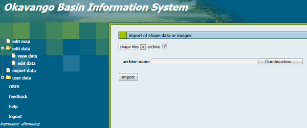
For the import of geodata you will be automatically redirected to the JanusWeb. Click "New Import" in the menu on the left side and the following screen appears. Select the format of the geodata with the help of the pull down menu and give the directory path. Tick the box if you want to upload data from the archive.
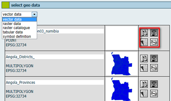
It is important to list the Spatial Reference Identifier (SRID) of the geodata's projection when you import data. Afterwards you have to click the subitem "view data" of the menu item "edit data".

